

Geomatics and Spatial Solutions Department
Smart Technologies for Site Analysis and Informed Environmental Decision-Making
Environmental Horizons, through its Geomatics and Spatial Solutions Department, provides a wide range of services in Geospatial Information Systems (GIS) and remote sensing to support government entities and private-sector organizations in accurately understanding and analyzing spatial data.
Our services cover the collection, production, management, and analysis of spatial data, as well as the development of digital solutions and supporting geographic applications and consultancy services. We also apply the latest remote sensing, geospatial surveying, and geographic information system technologies to support decision-making and help achieve the company’s objectives and project goals.
19+
سنة خبرة
- About the Service
A Comprehensive View of Your Site Through Smart Data
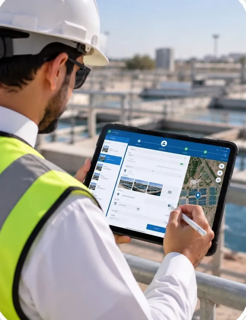
This service combines Geographic Information Systems and remote sensing technologies to provide advanced spatial analysis that supports site assessment, environmental change monitoring, digital mapping, and the accurate and efficient analysis of field data.
It also enables various entities to monitor projects, support environmental studies, and develop spatial databases that contribute to improved planning and more efficient resource management.
- Geospatial Information Systems and Remote Sensing
What Does the Service Include?
Advanced Geospatial Solutions for Projects and the Environment

- Digital Mapping (GIS)
Creating professional maps and analyzing spatial data to support planning and decision-making.

- Satellite Imagery Analysis
Using remote sensing data to monitor environmental changes and observe sites.

- Land Use Monitoring
Analyzing urban expansion, changes in land cover, and natural resources.

- Spatial Modeling and Analysis
Conducting advanced geospatial analyses to identify patterns, risks, and opportunities.

- Geospatial Database Development
Developing and managing integrated spatial databases for projects and facilities.

- Environmental Change Monitoring
Monitoring changes in vegetation cover, water bodies, and environmentally sensitive areas.

- Environmental Study Support
Providing the analyses and maps required for environmental impact assessments and specialized studies.

- Integration of Field and Digital Data
Integrating field survey results with geospatial data to provide a comprehensive perspective.
- Sectors We Serve
We Work with a Wide Range of
Vital Sectors Across the Kingdom
Government Entities
Industrial Companies
Energy Companies
Real Estate Developers
Financial Institutions
Infrastructure Companies
Oil and Gas Sector
Educational Institutions
Healthcare Sector
Large and Medium-Sized Companies
- How Do We Carry Out the Study?

A Clear and Well-Structured Methodology

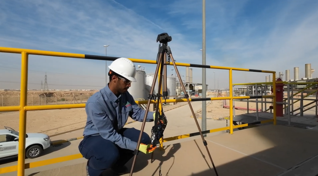

- Spatial Data Collection
Obtaining satellite imagery, field data, and the required geographic information.
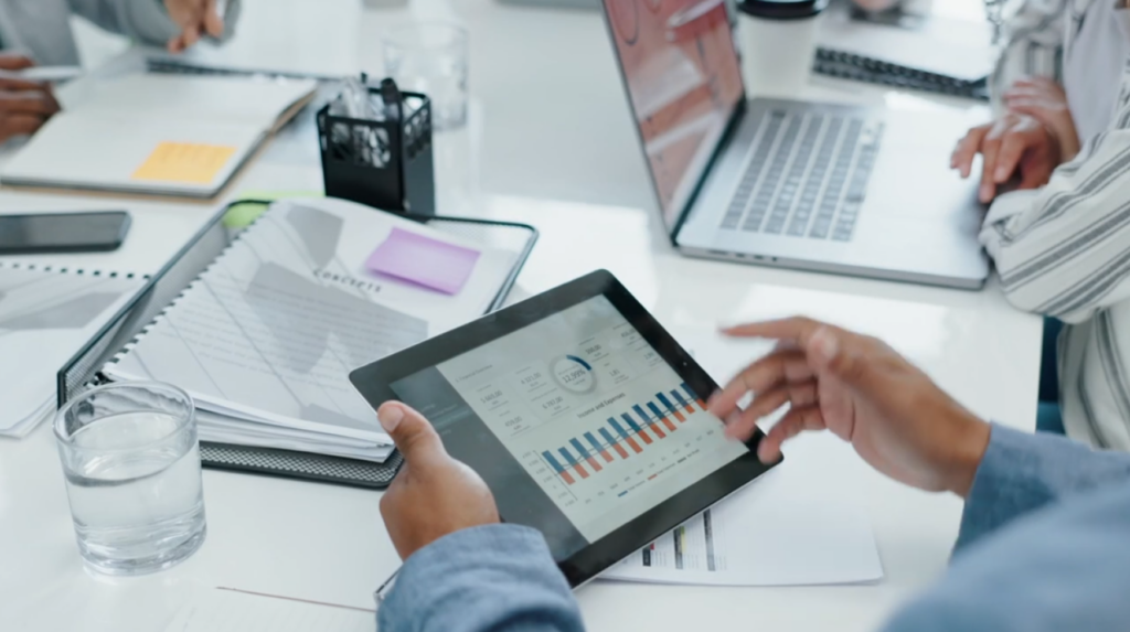

- Processing and Analysis
Analyzing data using the latest Geographic Information Systems software and remote sensing technologies.
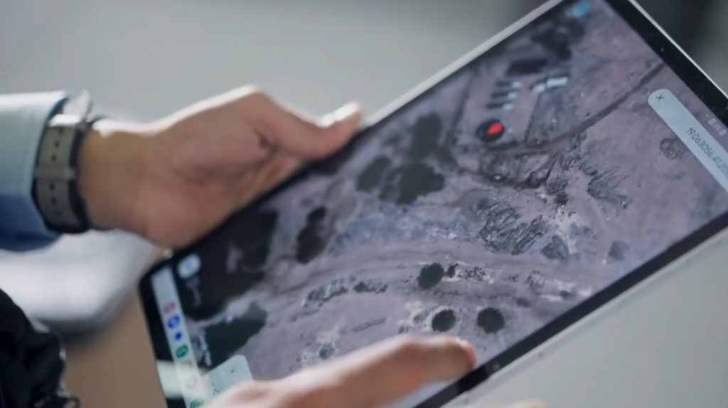

- Map and Report Preparation
Producing professional maps, dashboards, and analytical reports to support decision-makers.

- Updates and Continuous Monitoring
Continuously updating databases and monitoring environmental changes.
اعتماداتنا وتراخيصنا
- اعتمادات بيئية رسمية (NCEC)
- ترخيص إدارة النفايات الصناعية والخطرة (MWAN)
- ترخيص الخدمات البيئية بالمدن الصناعية
- شهادات ISO في البيئة والطاقة والصحة والسلامة (14001 / 50001 / 45001)




هل تحتاج إلى حلول جيومكانية متقدمة لمشروعك؟
يمتلك فريق آفاق البيئة خبرة متخصصة في تطبيق نظم المعلومات الجغرافية والاستشعار عن بعد لتقديم رؤى دقيقة وتحليلات مكانية تدعم نجاح المشاريع وتحسن كفاءة إدارة الموارد والامتثال البيئي.